Mining Monitoring
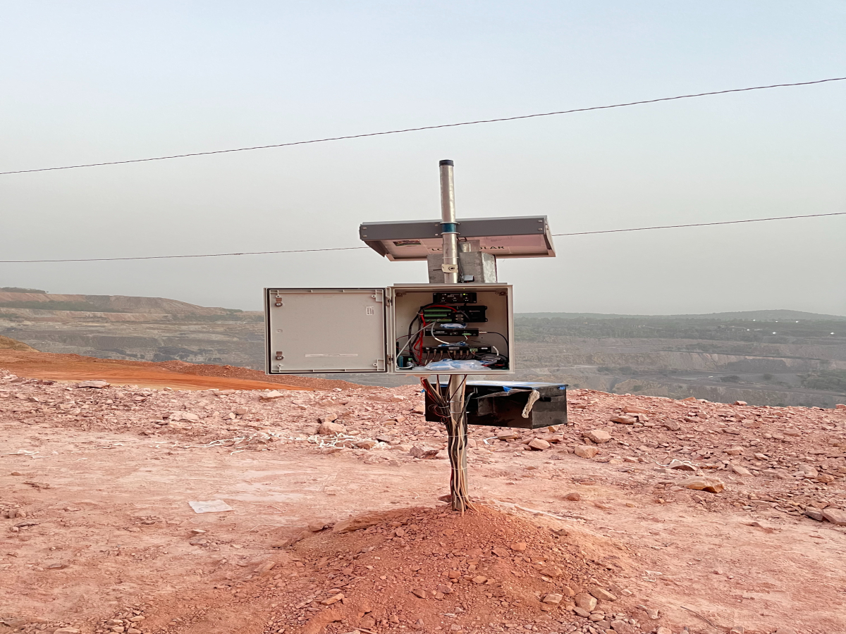
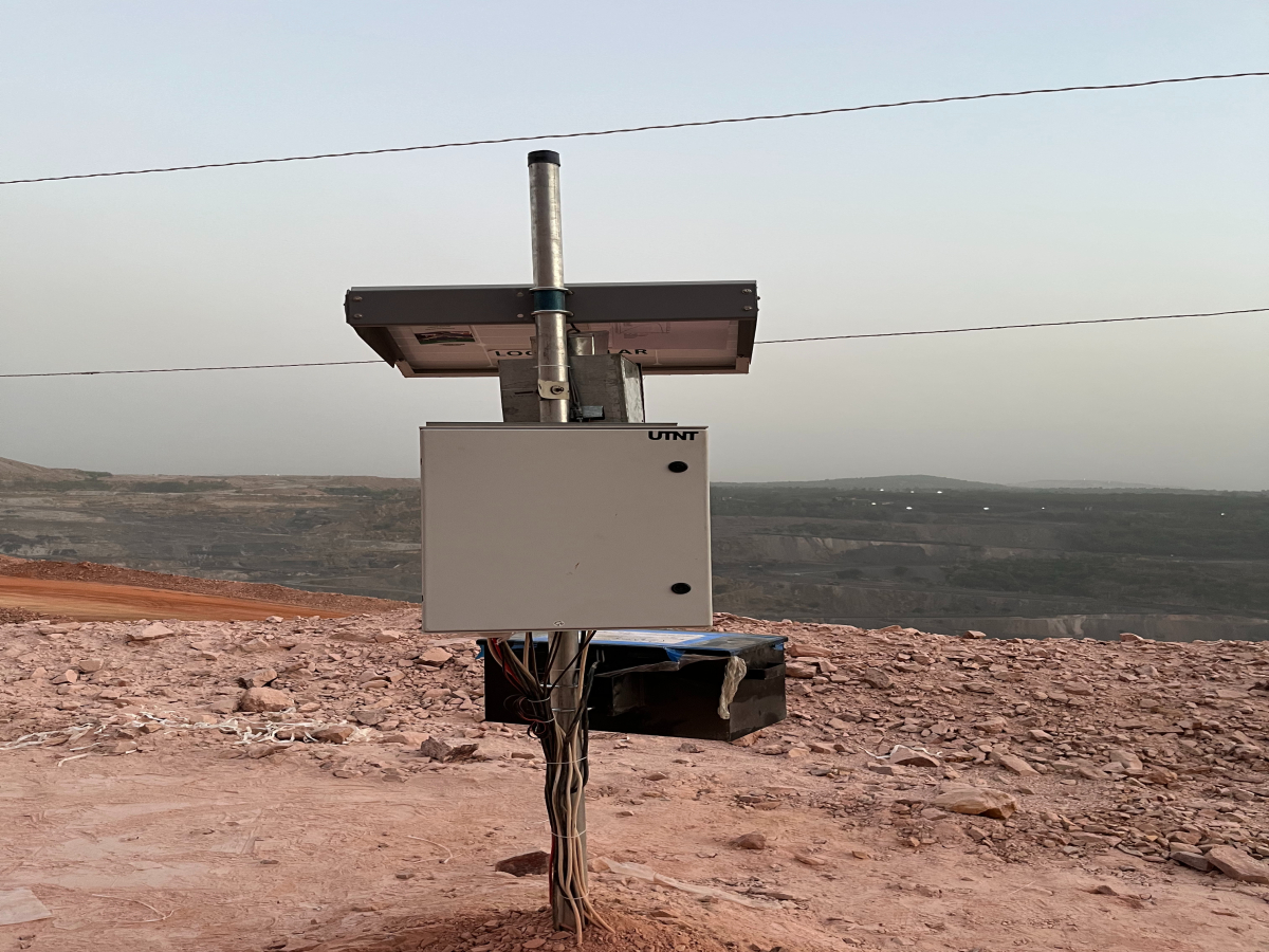
Slopes of open pit mines typically consist of a series of benched, steep cuts. Movement of slope walls and groundwater levels can be monitored to watch for areas of instability or aid in pit dewatering efforts. Various openings, tunnels, and shafts of underground mines can experience ground failure or instability. Monitoring programs can consist of instruments to monitor tunnel roof subsidence/ convergence and shaft instability.

Mining Monitoring with UTNT
Open-pit mines face risks of slope instability, groundwater infiltration, and unexpected failures. Monitoring these conditions is essential for maintaining worker safety, preventing operational disruptions, and optimizing resource extraction. Real-time insights enable proactive measures to address risks and improve mining efficiency.
Slope Stability Monitoring
Whether it is surface or subsurface slope stability, UTNT has solutions for both problems. The excellence of Shape Array from Measurand and complimenting Geotechnical Measurement Solutions from RST instruments. Measurand designs and manufactures Shape Array, which is used to monitor the deformation of soil and structures like mines, dams, tunnels, walls, and buildings. Shape Array is an automated shape-measuring, inclinometer-style instrument on a reel, which has set a new standard for ease of installation. Shape Array data are available in real-time, enabling engineers and designers to reduce risk and save money by making smarter, faster decisions. Geotechnical instruments manufactured by RST Instrument typically complement geospatial or radar systems, which monitor surficial movements.

Environmental Monitoring

Tough weather and pollutants are major factors for life-threatening decreases and strokes for the people working regularly in the mines. Monitoring keeps us informed and information can be used for quick decision-making to avoid losses due to extreme weather conditions and pollution. Our solutions for monitoring weather and pollution from reputed world Indian brands like Aeron Systems, Oizom, and many other products from different expert manufacturers from the world.
Key Parameters Tracked
- Slope Stability
- Groundwater Level
- Stress and Strain
- Vibrations and Seismic Activity
- Surface Displacement
- Weather Conditions
- Pore Pressure
Key Features
- Real-Time Slope Monitoring:
- Provides continuous tracking of slope movements using advanced sensors.
- Automated Alerts:
- Issues immediate notifications for unstable slopes or groundwater level spikes.
- Remote Monitoring Capability:
- Enables monitoring from distant control centres via cloud-based platforms.
- Integrated Sensor Networks:
- Uses inclinometers, piezometers, and ground radar for comprehensive data collection.
- Predictive Analytics:
- Applies machine learning to predict slope failures and optimize operations.
- Weather Integration:
- Combines meteorological data to assess environmental impacts on mine safety.
- Customizable Solutions:
- Tailors systems to the unique geology and operational needs of each mine.
- Long-Term Data Archiving:
- Stores historical data for analysis, regulatory compliance, and trend identification.
Benefits
- Enhanced Worker Safety:
- Reduces risks by providing early warnings for slope instability or flooding.
- Operational Continuity:
- Minimizes disruptions caused by slope failures or water-related issues.
- Optimized Resource Management:
- Supports efficient dewatering and resource extraction with precise data.
- Cost Savings:
- Prevents costly repairs, delays, and accidents through proactive monitoring.
- Regulatory Compliance:
- Ensures adherence to safety and environmental standards with comprehensive monitoring.
- Improved Disaster Preparedness:
- Provides tools to respond quickly to emergencies like landslides or flooding.
- Sustainable Practices:
- Reduces environmental impact by optimizing water management and minimizing waste.
- Data-Driven Decisions:
- Supports mine planning and operations with actionable insights from real-time data.
